It's time to tell the story of the TCD canoe reconnaissance mission.
To Golden Oak.
I had studied the maps.
And the aerial photographs.
It should be a piece of cake.
So, on Sunday, July 4th, I presented myself at the Bike Barn at Zero Nine Hundred.
There was already a customer ahead of me.
And then I was waited on.
The castmember asked how he could help me.
I told him I wanted to rent a canoe.
He said sure, I will need your KTTW card.
I told him that I intended to pay cash and did not bring my KTTW card with me, but that I would run back to the campsite and get it.
He said don't worry about it.
He gave me a nice release of liability to sign.
And said that the canoe course takes about a half an hour, so they charge for a half hour. I told him that I thought I might be a bit longer than a half hour. He said don't worry about it- they don't really keep track of the time, and it would be fine if I ran over. I told him I thought I might be an hour, or perhaps even more. He said don't worry about it, he would still just charge for half an hour.
With tax, it is just under $7.00 to rent a canoe for half an hour.
But, you can keep it for longer if you want.
At least I could.
And, it turns out, I was going to need it.
There was very little in the way of instructions or rules given. The castmember pulled a canoe down to the edge of the water and told me to head right, and keep turning right until I got back to the Bike Barn. He told me to take a life jacket, but I did not have to wear it. He said when I got back, I could just pull the canoe up on the beach and there was no need for me to check out.
And that was it.
I was off.
I did head right, as instructed, although it would have been quicker for me to head left.
But, I have never canoed at the Fort before, so I figured I would take the grand tour while I was at it.
I headed toward the pedestrian bridge that comes out of the 600 loop:
Here I am looking back toward the Bike Barn:
This is a campsite on the 600 loop, just past the bridge:
And, this site is on 1400:
This site is on the 500 loop:
You may have noticed that the water doesn't look so nice along this part of the course.
Well, I'm here to tell you that it was worse in person.
I believe that you could walk across this green stuff if you were so inclined.
Here is what it looks like when you go under the bridge between the 1400 loop and the 500 loop:
This is the remains of a railroad trestle:
You can see this if you walk all the way to the far corner of the dog park.
These bridge remains are at the end of the canal where it enters into the big canal that feeds into Bay Lake. I don't know why a bridge was here- it was not for the railroad. But, there used to be a bridge here:
The Fort Wilderness Railroad used to run right along this bank. I'll bet that there are tracks still there under the grass. It would be easy enough to the canoe up and get out for a look, but I will have to save that for another day:
This is where I was supposed to turn right, into the canal by the 1500 loop. There also used to be a bridge here:
There were no signs of any kind out here telling you where to turn, or, more importantly, that you could not keep paddling up the canal.
So far, so good.
Here is a camper and a clothesline on the 1500 loop, as seen from the canal:
And here we are looking down the canal toward Golden Oak:
You may have noticed that there are trees along the canal blooming with white flowers. These are not Magnolia trees. They are Bay Trees. They bloom in the summer. They are quite beautiful.
This is the 1800 loop, as seen from the canal:
This gate stands a bit down the canal from the 1900 loop:
That is the end of Fort Wilderness.
Now we are in the area of the Osprey Ridge golf course.
There is a bridge off in the distance. This is for the golfers playing the course:
And here we are at the bridge:
Houston, we have a problem.
There is an obstruction all the way across the water which prevents me from paddling under the bridge.
This does not surprise me.
I told you I did my homework.
I saw this image on Bing:
That's our bridge.
And the obstruction.
And, there is another one a bit further along.
So, this is a dead end.
I could portage.
I told you I have the canoeing merit badge.
Portage means carry your canoe.
But, there were golfers putting on the green just to my right.
Here they are:
And the beer cart had just driven by over the bridge.
So, there were people around.
And, after this, I would be paddling right past the golf clubhouse.
Which has window seating overlooking the canal, which looks a bit like a lake there.
Maybe nobody would say anything.
But, probably someone would.
And, I couldn't exactly say that I accidentally dragged my canoe around the bridge.
So, this mission was a fail.
But, not completely.
I got to see what it is like to canoe at the Fort.
And, I liked it.
And, you apparently only have to pay for a half an hour, but you can keep your canoe longer.
That's a good deal.
Here is what I saw on the way back . . .
This is the bridge near the Meadow Recreation Area. That's the 1500 loop on the left:
This is the pedestrian bridge that goes to the 1500 loop:
And this is the 1500 loop bus stop:
These campers on the 1300 loop had their own kayaks. I didn't see them use them at the Fort. I have always heard that you cannot use your own canoe or kayak at the Fort, but I have never seen that rule in writing anywhere. I wonder whether these people used their kayaks at the Fort:
This is the 1300 loop, as seen from the water, and another flowering Bay Tree:
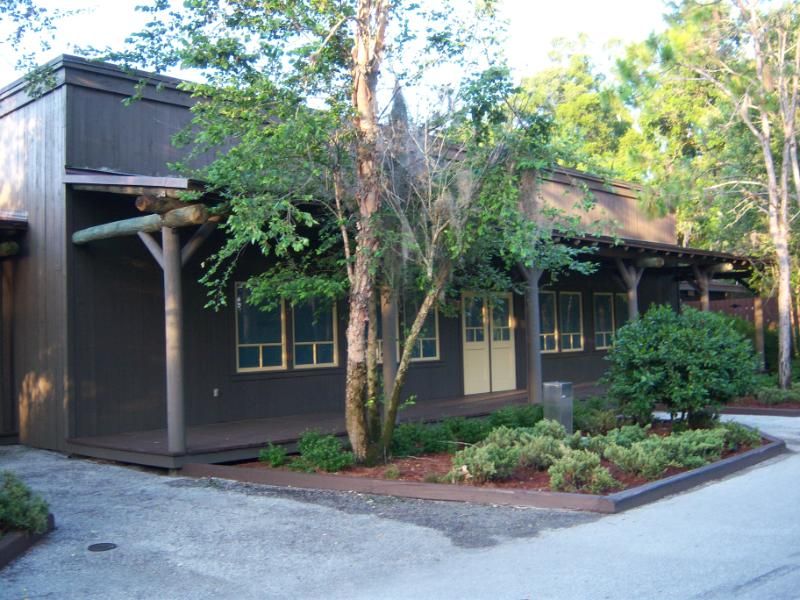
And, here is the Meadow Trading Post, as seen from the water:
From here, I beached the canoe in front of the Bike Barn, and that was it.
I had the canoe out for just over an hour.
But only was charged for a half an hour.
Not bad for seven bucks.
I recommend it.
Even if you can't make it all the way to Golden Oak.
Next up . . .
Another mystery!
TCD


 You know he gave lady and tramp a plate of spaghetti. We went there for a GG character breakfast and I was so smitten I had my picture made with him.
  He is a sweet funny guy. He signed our childrens autograph book as Tony
  Just sayin I think he is playing the role of six bits and a pirate, but really he is Tony

")


 He even seemed to have an italian accent. Like I said i was smitten. I will plan our trip to the hddr around his schedule. Great trip report I'm glad you are not finished yet.


 Enjoying your "Mystery Tour"!
