Saturday June 26, 2021
Today was our last "moving day" and the shortest drive of the trip at 160 miles. Moving days are opportunities to take care of behind the scenes stuff like laundry and grocery shopping. And that would be true of today as well. Starting today also we would get the first rain clouds of the trip and they would last for three days.
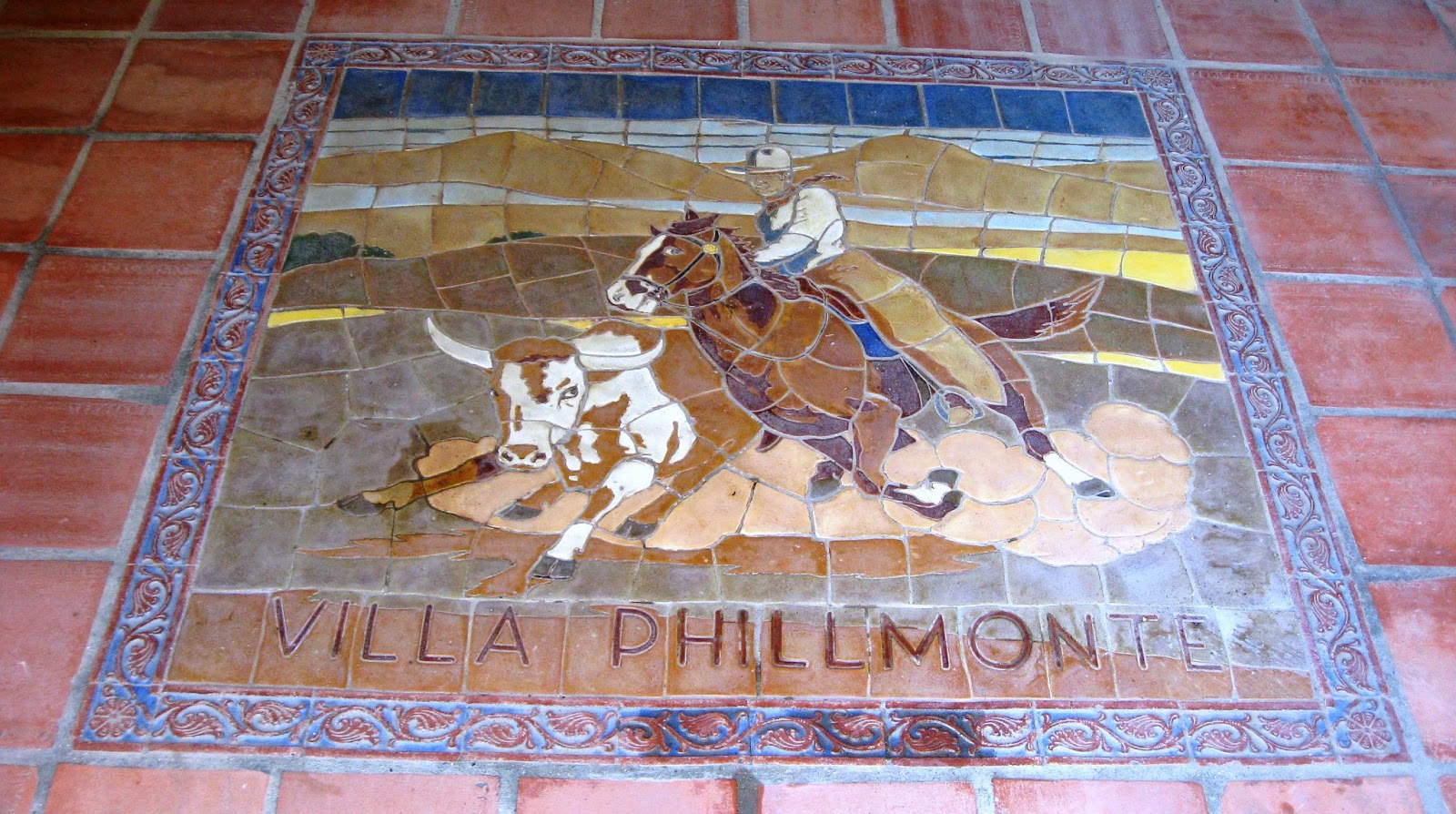
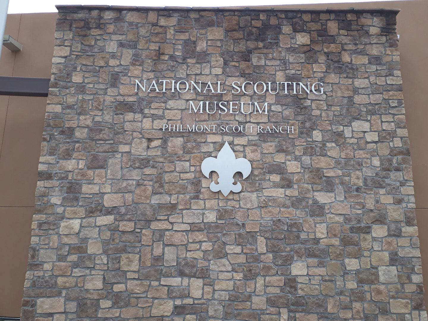
Again, no rush to leave out in the morning (which is nice in itself). We eased onto Interstate 25 again and headed east/north headed for the town of Cimarron in north east New Mexico which is the home of Philmont Scout Ranch which has a special place in my heart. And I wanted DW to see it and what goes on there since I have made five trips out to Philmont (2 as a Boy Scout and 3 as an adult leader) with the last being in 2012.
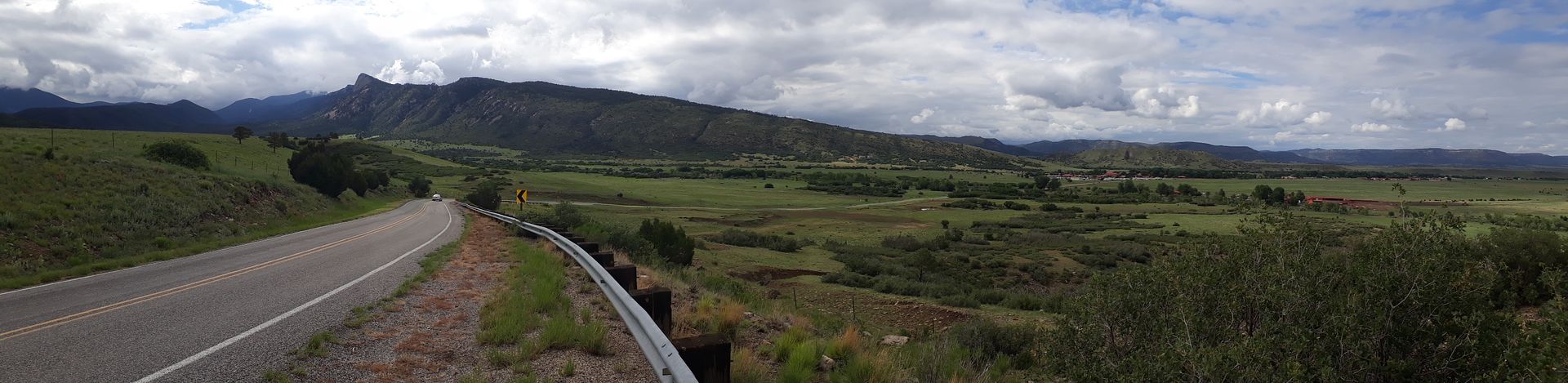
After you leave out of Santa Fe you swing around/over the tail-end of the mountain range that peters out there and you are running north along the flat plains. This was also the route of the Santa Fe Trail to come into Santa Fe itself. The traders didn't make a bee-line for the town itself - too hilly. They actually passed south below the town way out to the east on the plains where it was flat then turned northwest through one easy pass (The Glorietta Pass) and into town. Think of the shape of a capitol letter "J". Today we were driving in the opposite direction.
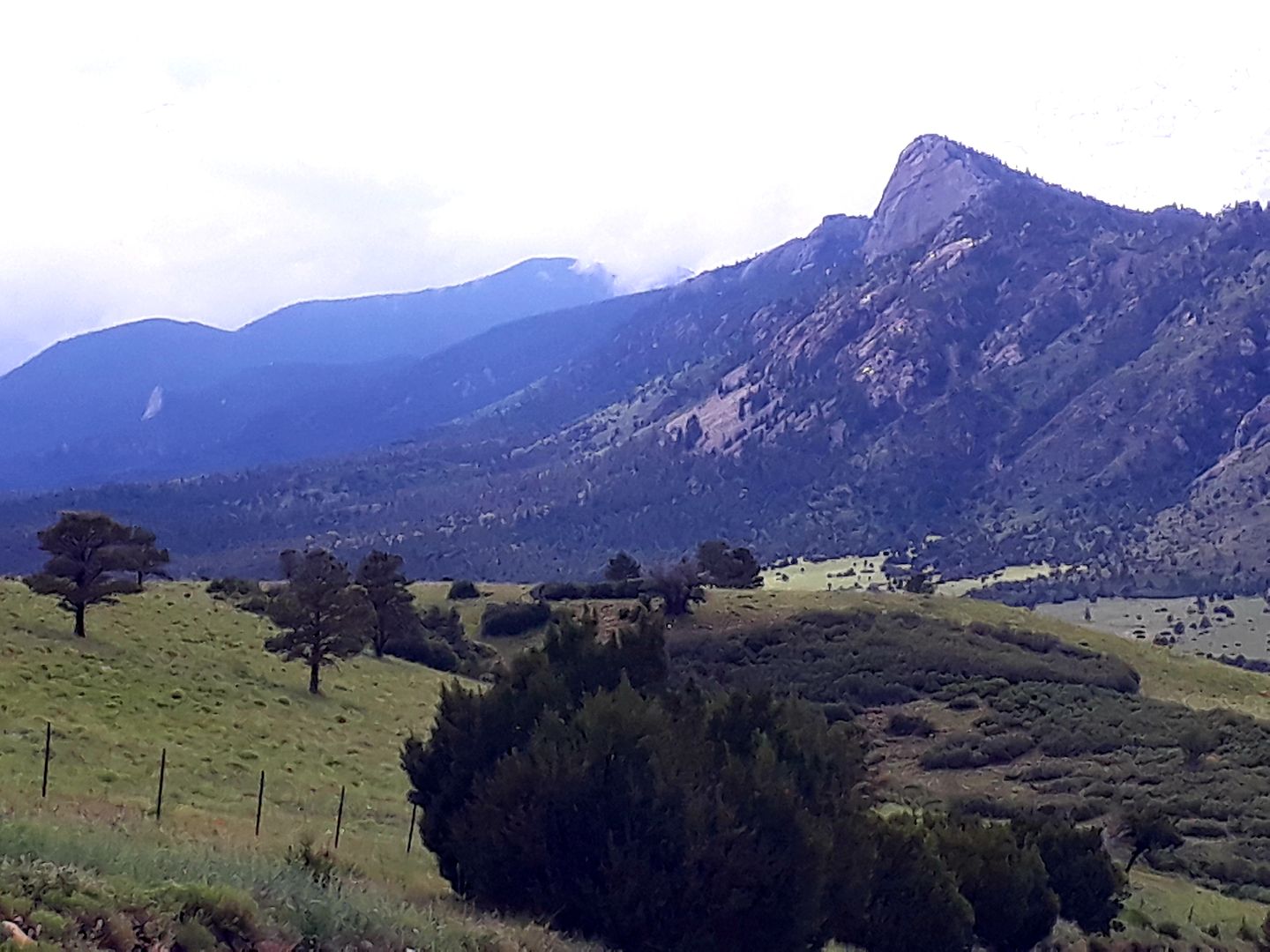
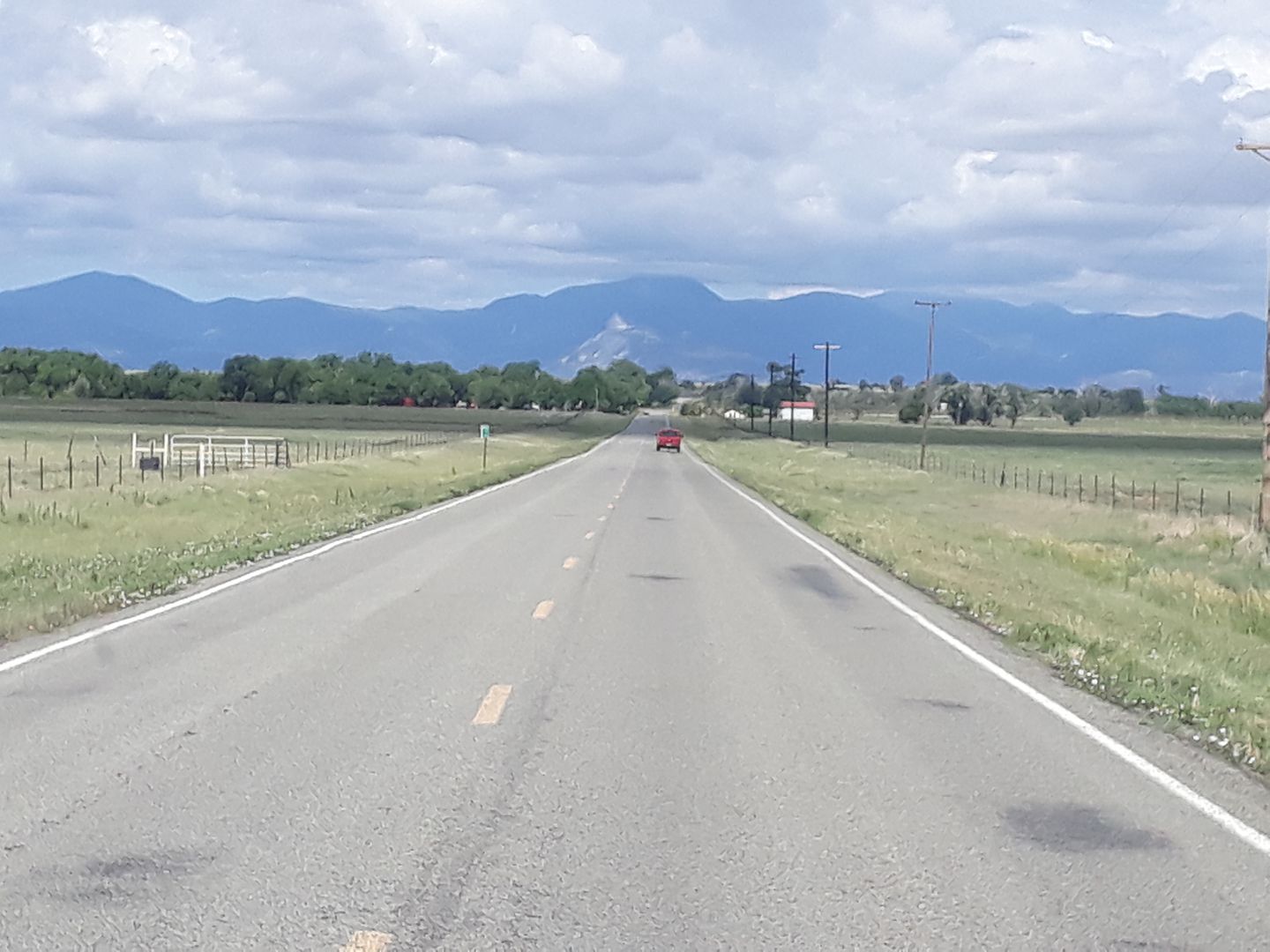
You get off the interstate and head west. The first range of mountains (The Sangre de Cristo) loom in front of you and get bigger. And bigger.
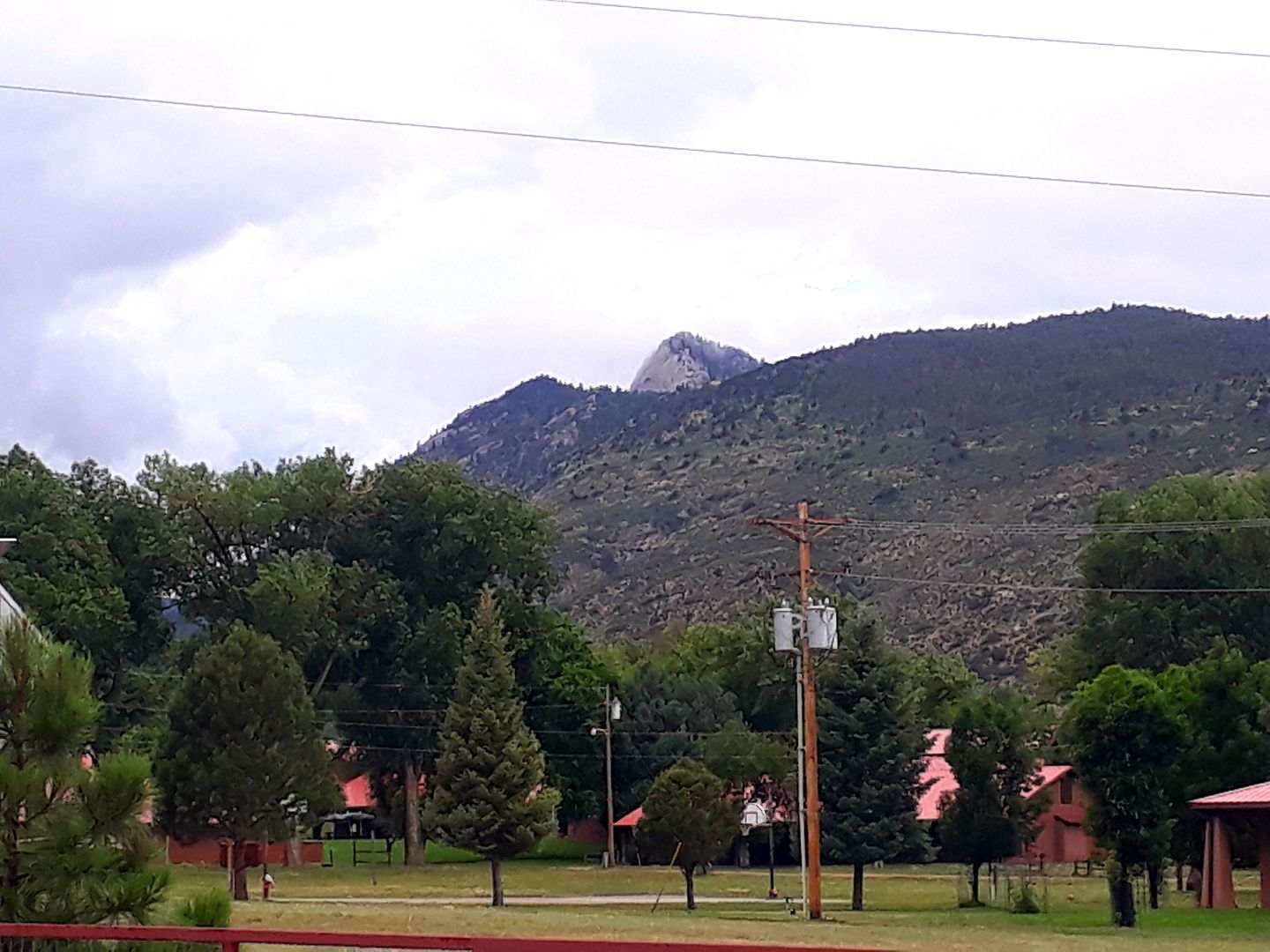
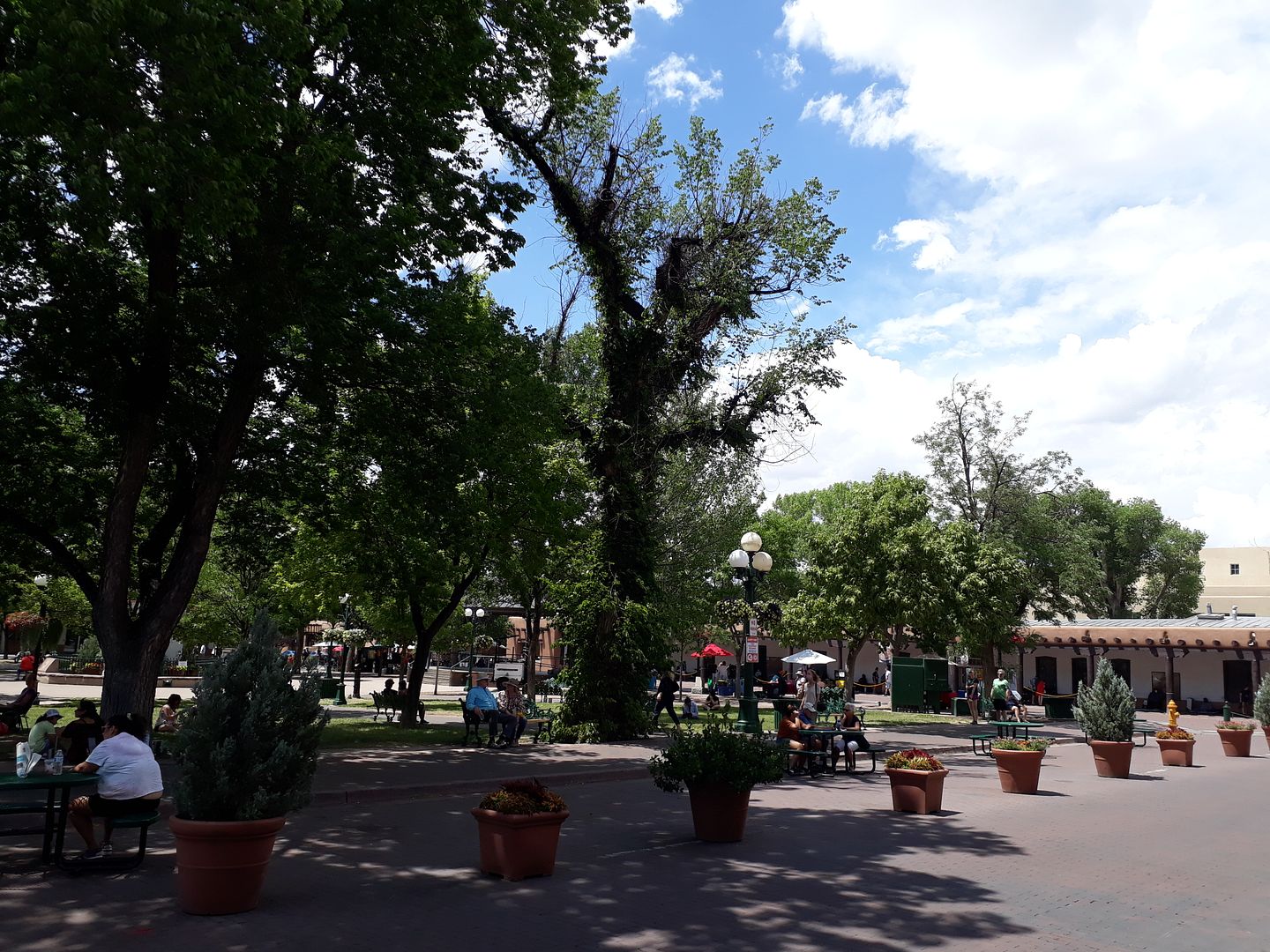
In fact the slogan of the town of Cimarron (population about 1,000) is "where the Rockies meet the Plains" and it's true. As you can see the cloud cover obscured the tops of some mountains which around town exceed 11,000 ft (the tallest I've hiked is 12,400 ft+ on the north side of the Ranch).
As far as available campgrounds, there are very few choices. There is a state park along a canyon about 20 miles away with primitive camping and a local motel that has about 5 sites. That leaves the only real campground in town, Ponil Campground (named for the adjacent creek), as our only option.
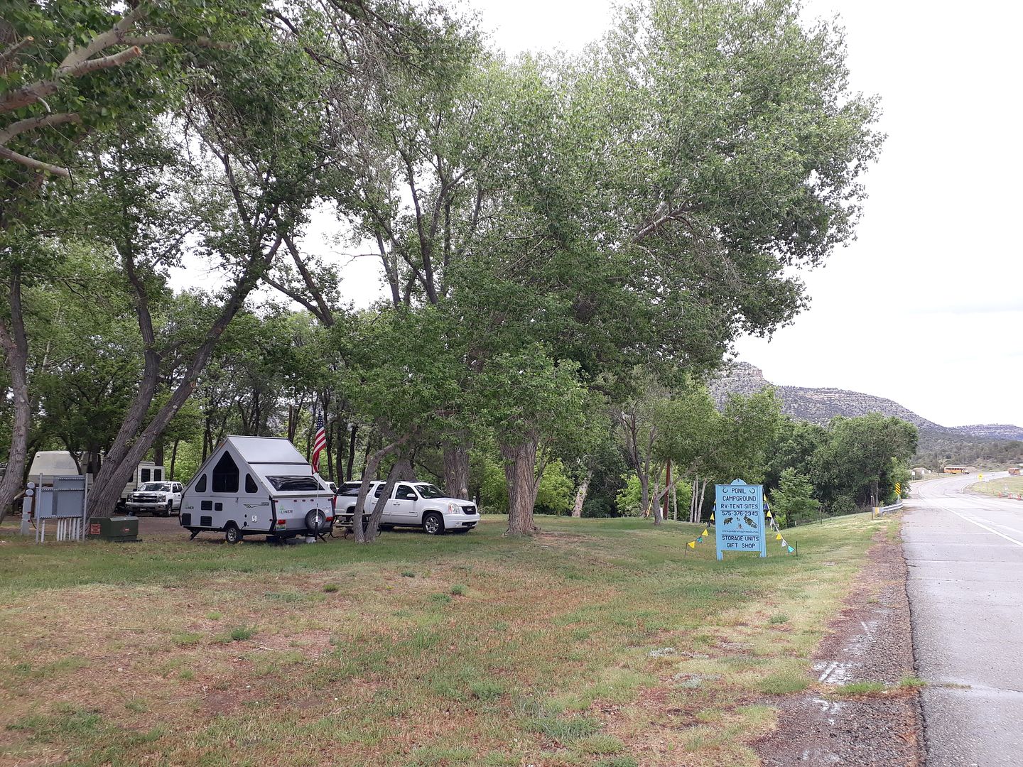
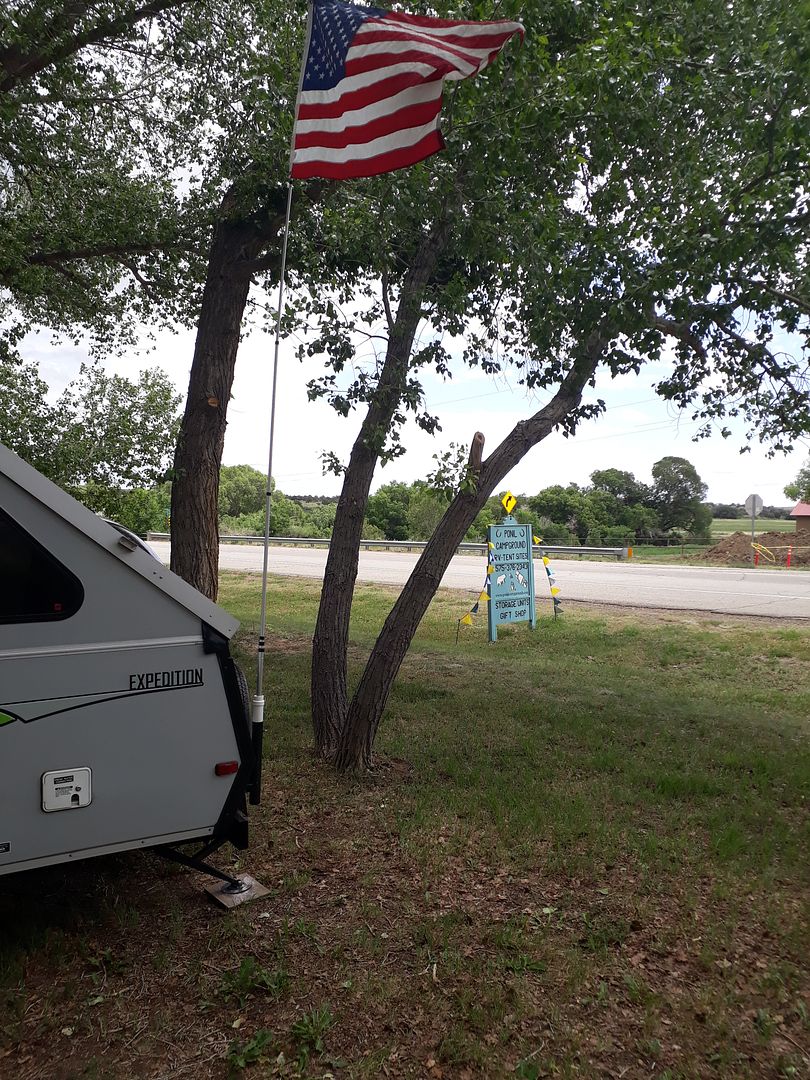
After Rio Chama (4.5 stars in my book) and Trailer Ranch (5.0 stars in my book), Ponil is a 2 star. Maybe. But it was adequate for our short visit. It has maybe 2-3 full timers and 4-5 trailers that are put out there from surrounding areas from spring to fall and used as weekend cabins. And then handful of sites for overnighters like me (maybe 25 campsites total). They run a very loose operation here - very small town.
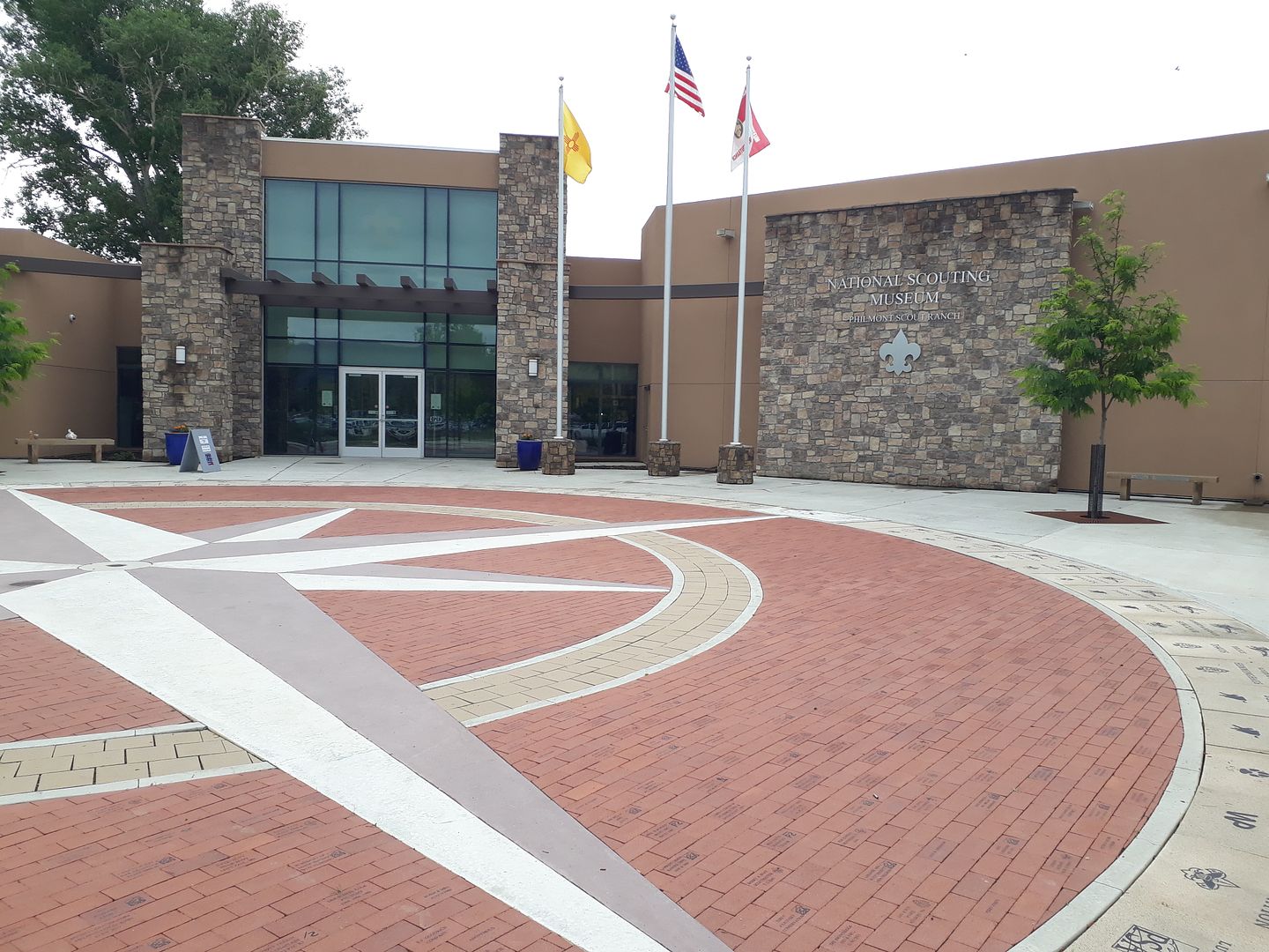
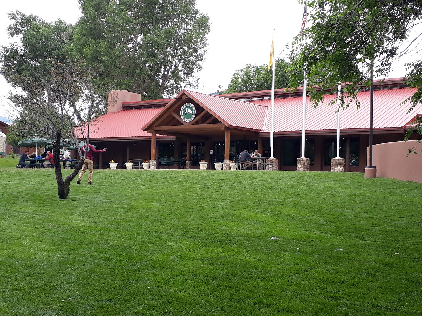
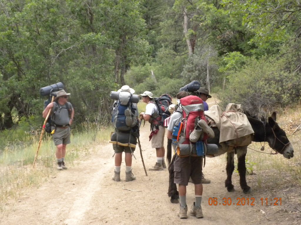
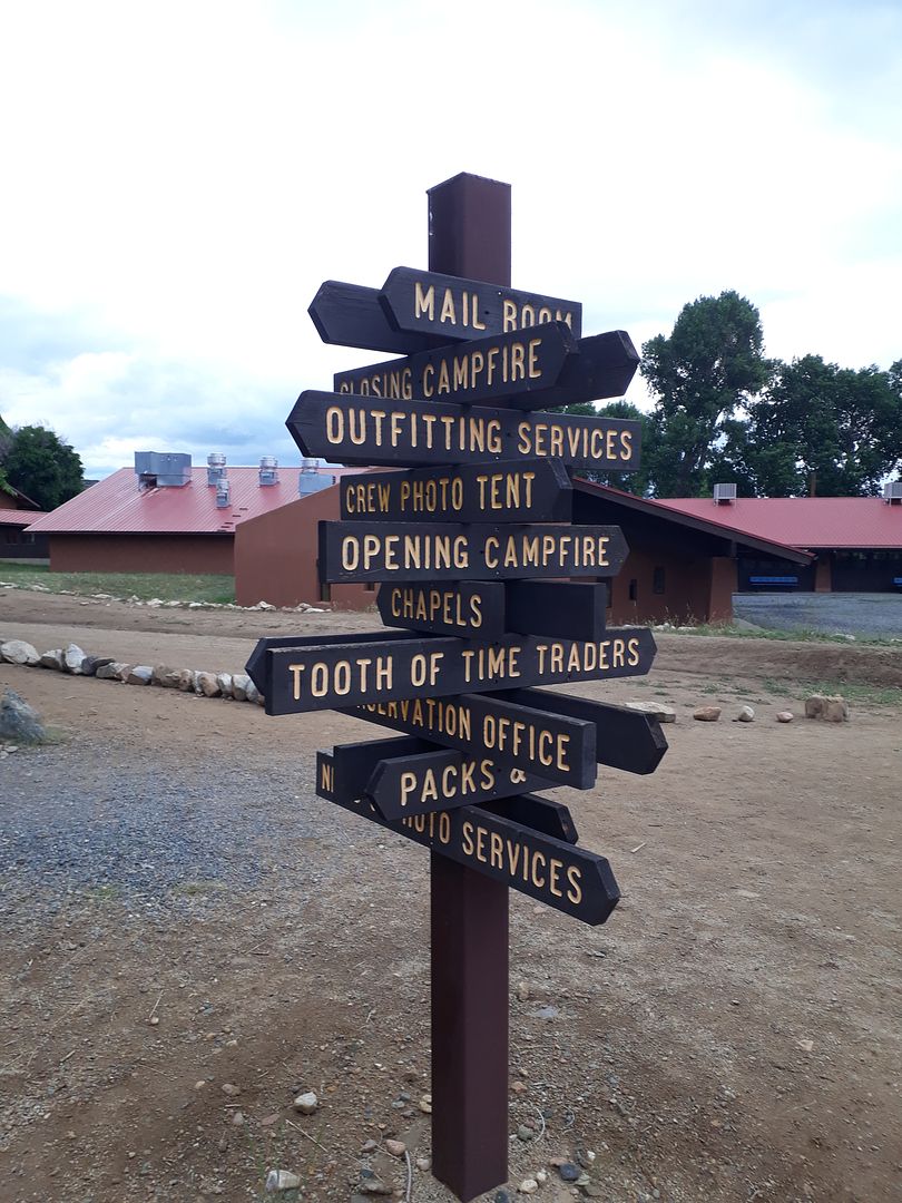
After a bite of lunch in the camper, the rain started but not very heavy so we drove down to the Philmont Welcome Center 5 miles south of town. Philmont is open to the public with its museums (more later) and Trading Post (gear, souvenirs) but it runs two different programs: a training center for Scout leaders (various week long programs) and then the backpacking operations (9-12 days in the backcountry) where you will get 25,000 kids/leaders through the backcountry during a summer season. Plus it is a working horse and cattle ranch year-round.
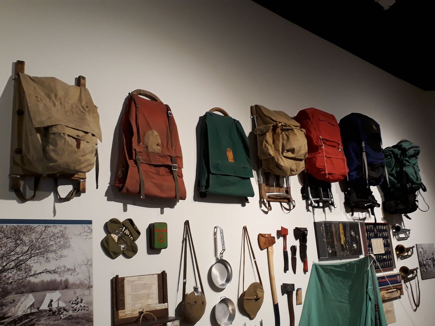
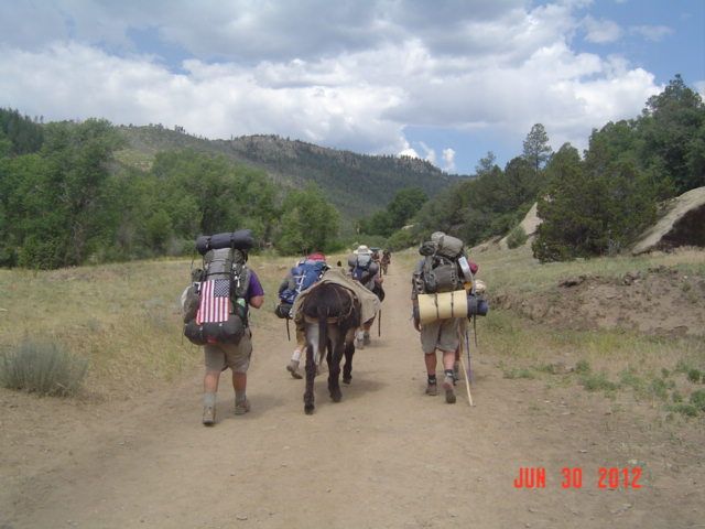
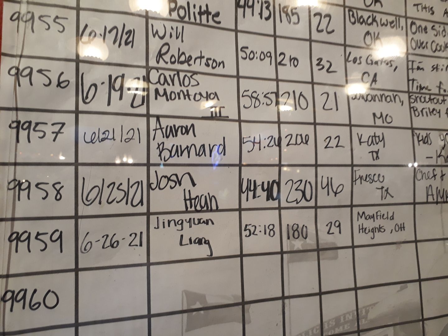
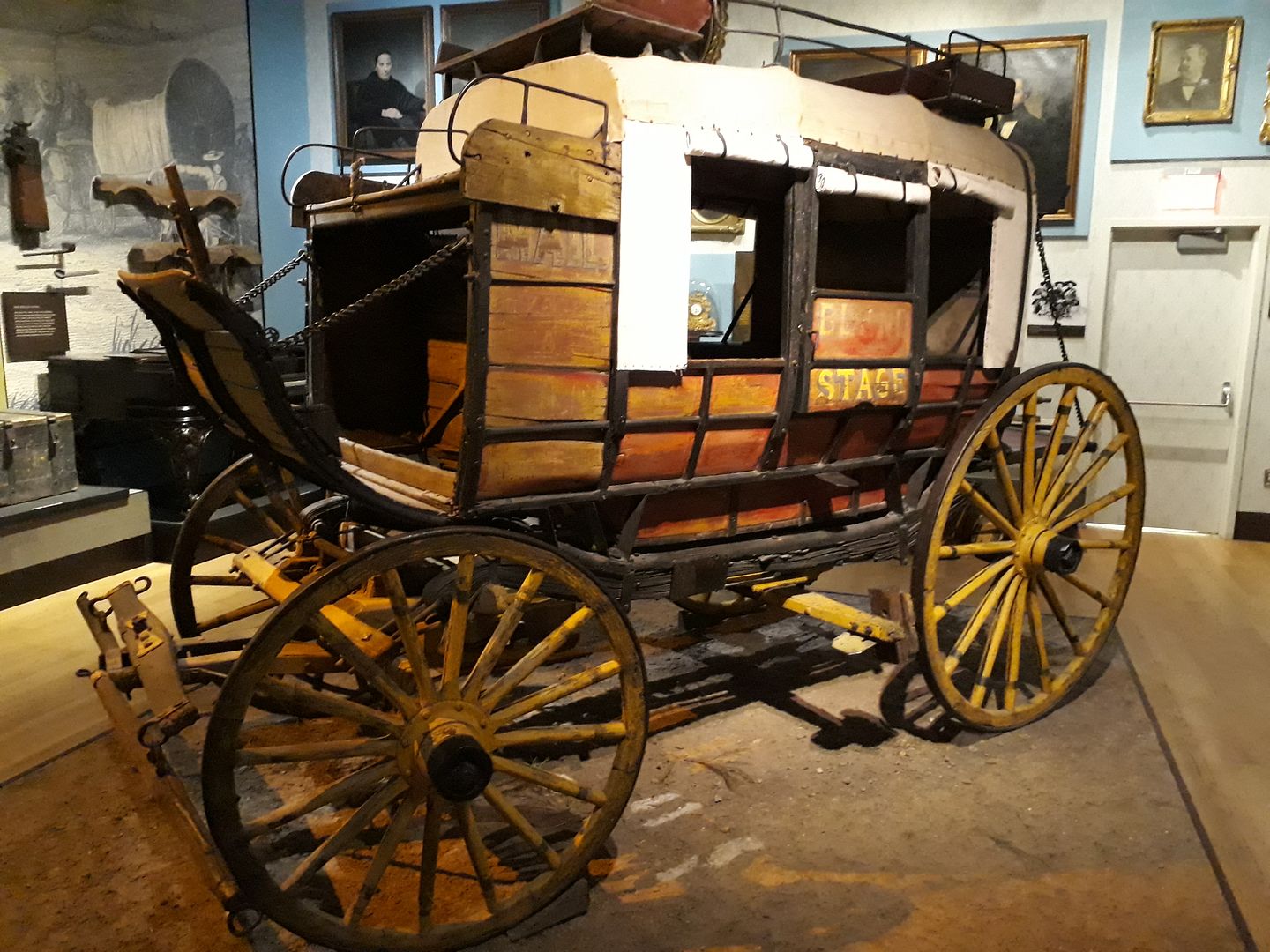
For the 25k folks doing backpacking, you arrive at the Welcome Center and are in that area called Base Camp for about 24 hours. They check medical forms, gear, you get the first couple days of food, paying and checking in, etc. There are canvas tents and cots for the one night and a Dining Hall before you hit the trail the next day. On your last trail day when you return to Base Camp (dirty, smelly, hungry, but happy) you can get a hot shower, clean clothes from your travel bag, and head for the snack shop. Again you're there for one night then you head home. It's a cycle that processes 300-400 arriving people per day and the same number leaving every day. Due to the rain I didn't get as many pictures around Base Camp as I wanted to so I will link in other pictures from the internet to fill in the story.
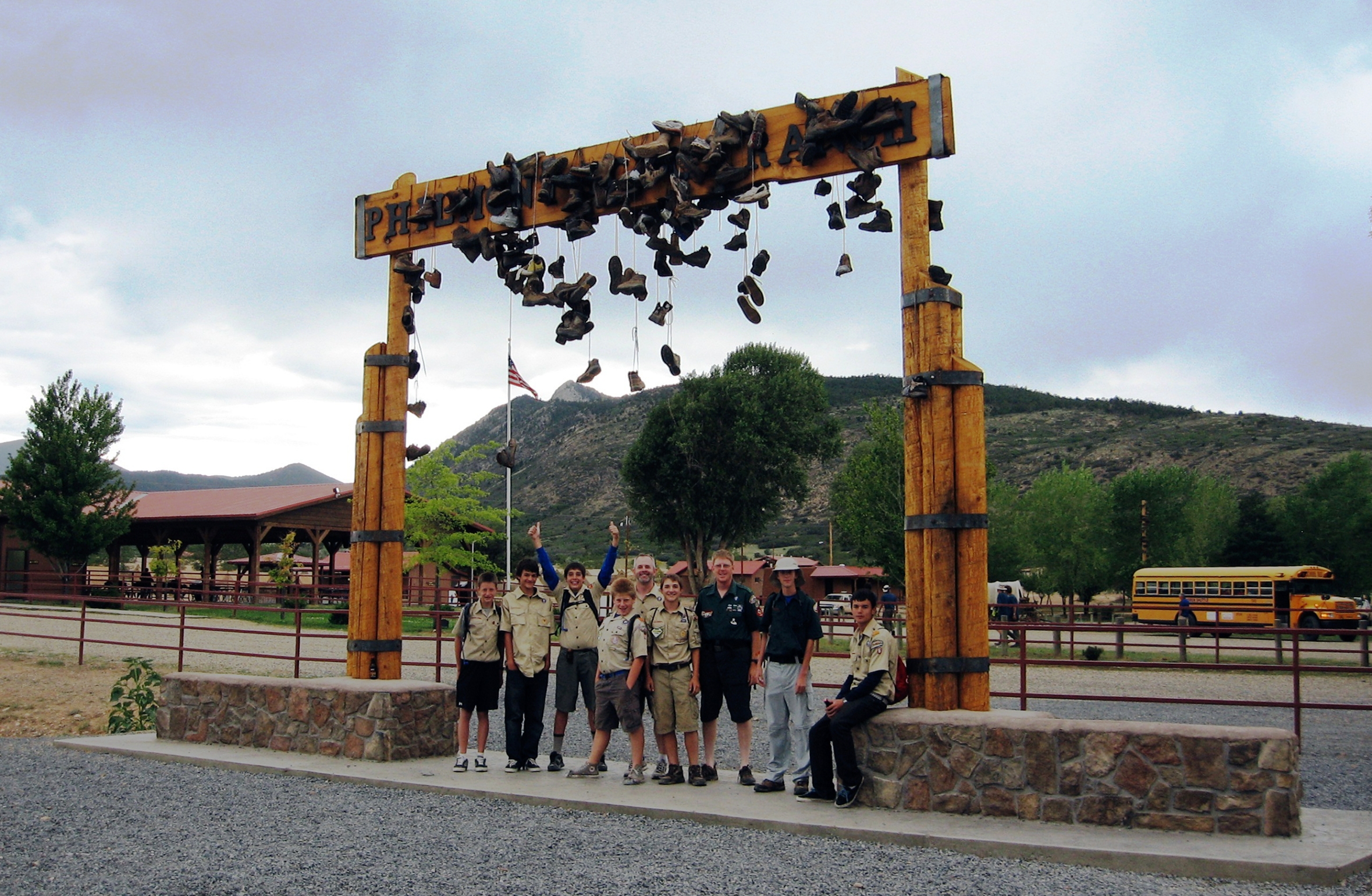
Campers (and visitors like us) arrive at the Welcome Center where the boot sign let's you know you've arrived (not my pic).
Yes I have posed under this sign with my groups. And yes a few of my boys threw their shoes up on the sign (took several attempts). Just to the right of the American flag you can see the Tooth of Time mountain peeking up above the ridge. The ToT was a sign to those traders on the Santa Fe Trail (the Mountain Branch came right down the 2-lane highway before it was there) that they were only about a week away from Santa Fe.
This is the sign after they cut all the boot laces at the end of a summer (not my pic):
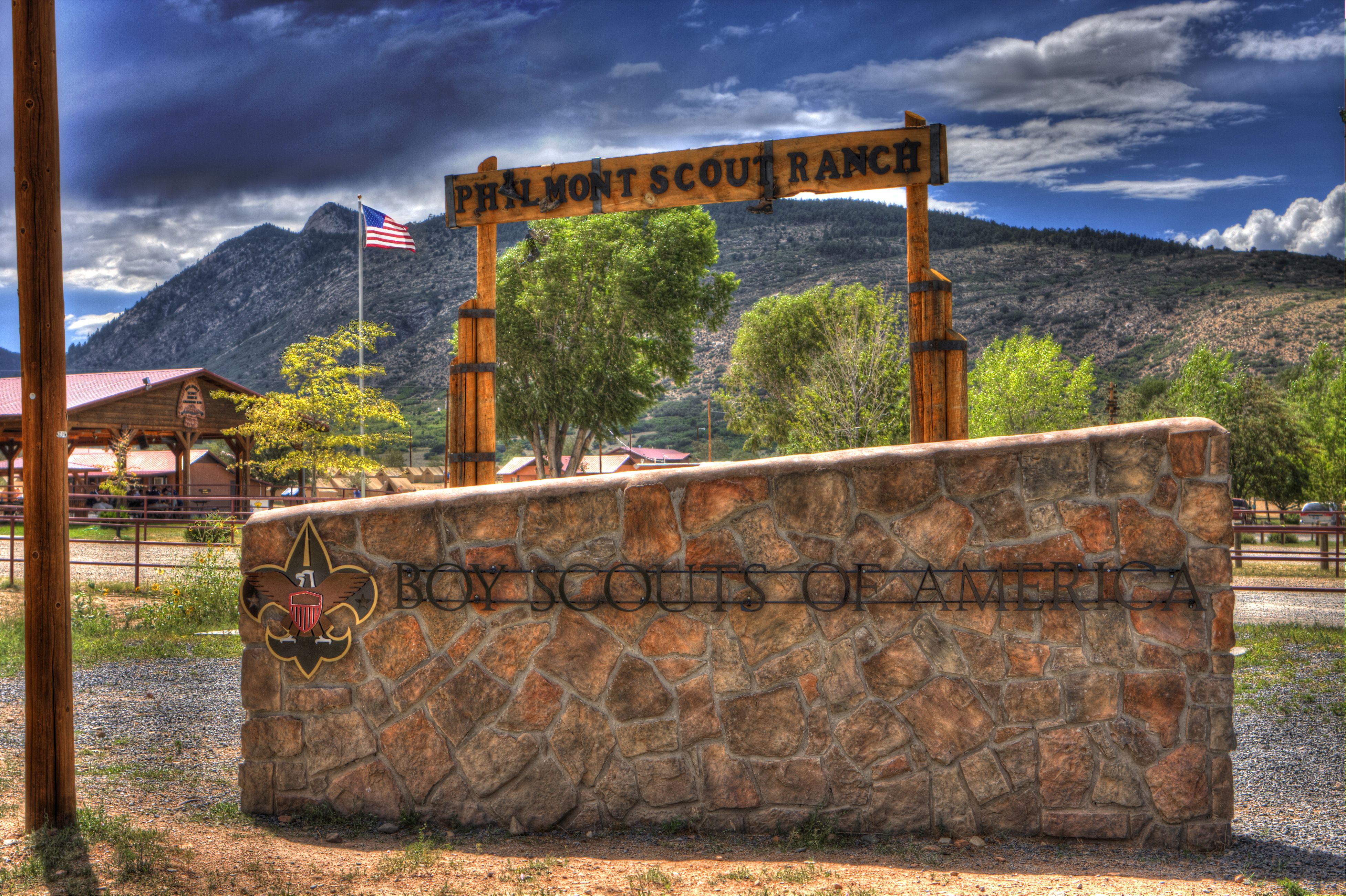
Here is a pic I took under my umbrella.
I hiked down that ridge to the right of the ToT into Base Camp on my last trip. We had camped up on the ridge the night before, clambered up the ToT with flashlights in the dark to watch the sun come up, saw a beautiful sunrise, then grabbed our packs and hiked into Base Camp.
A picture postcard example of sunrise on the Tooth of Time (not my pic) looking toward the eastern Plains:

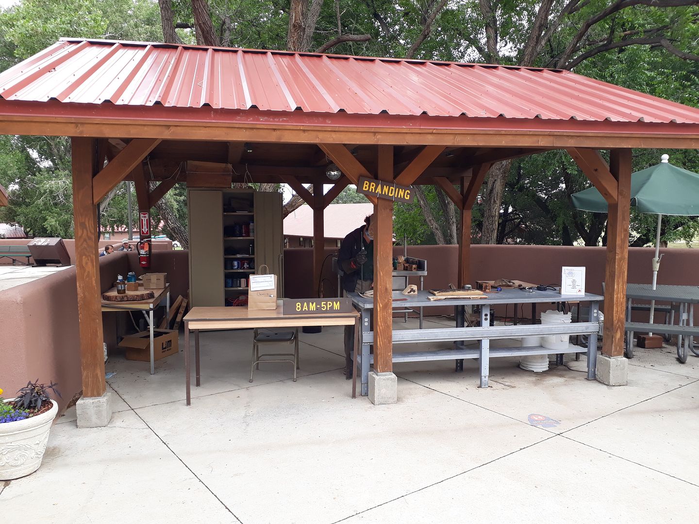
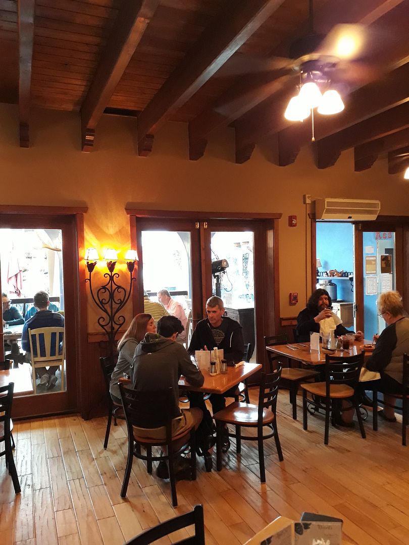
So DW and I walked around Base Camp.
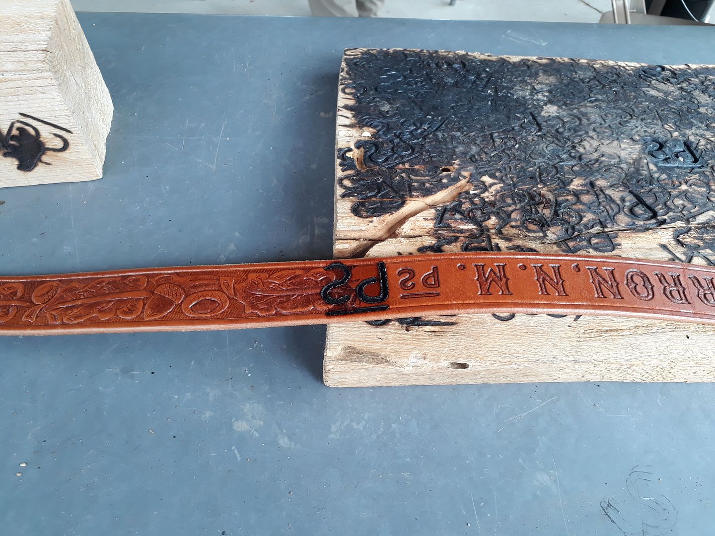
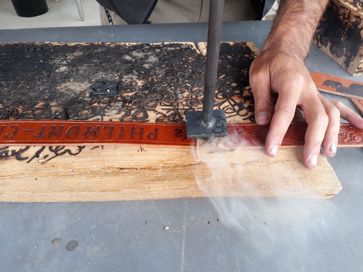
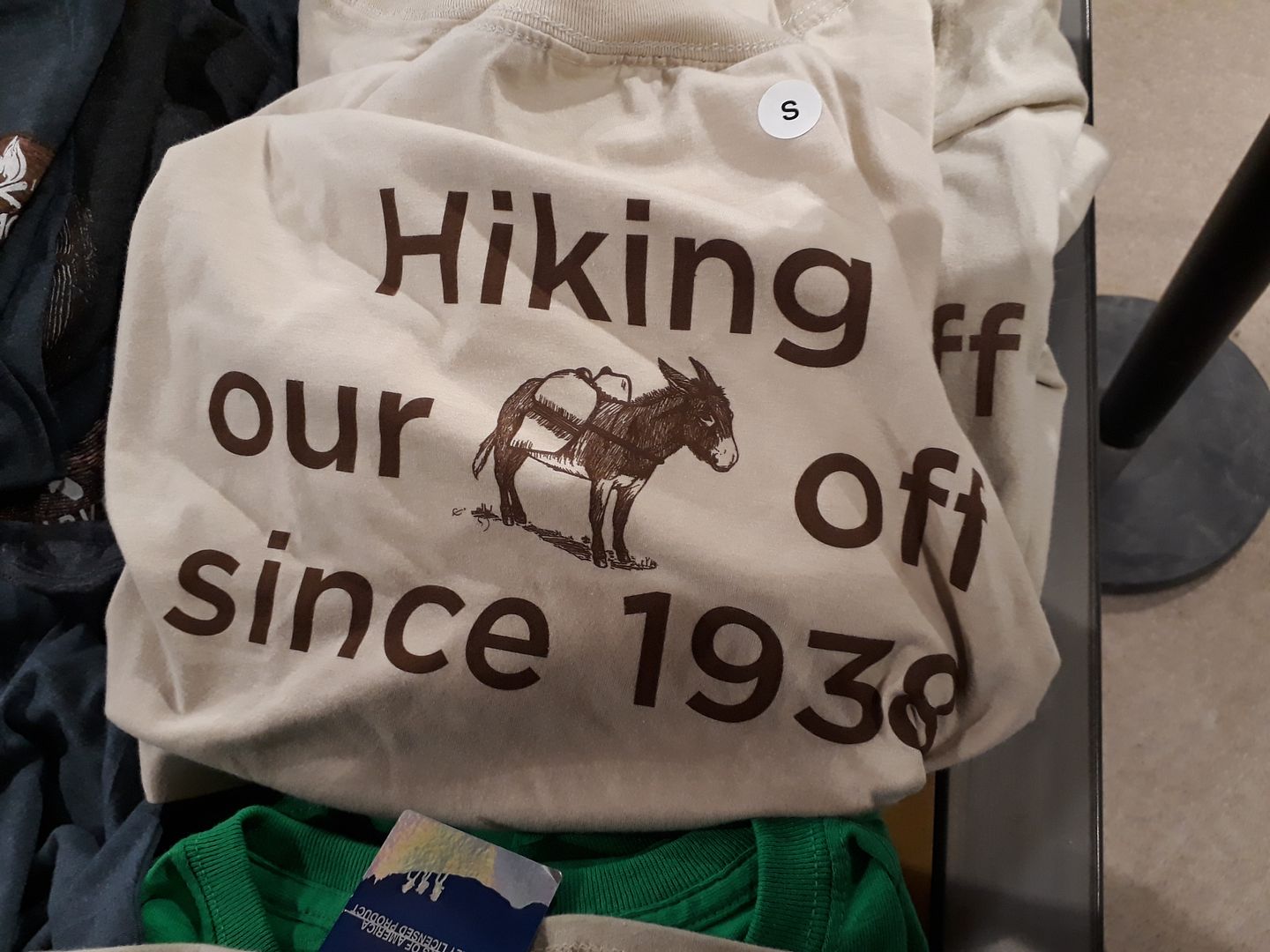
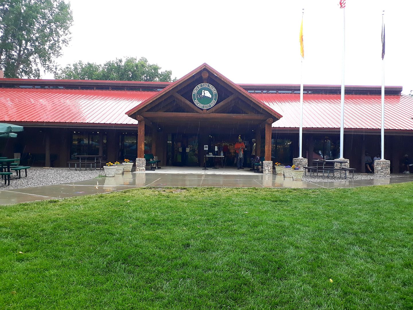
And visited the Trading Post.
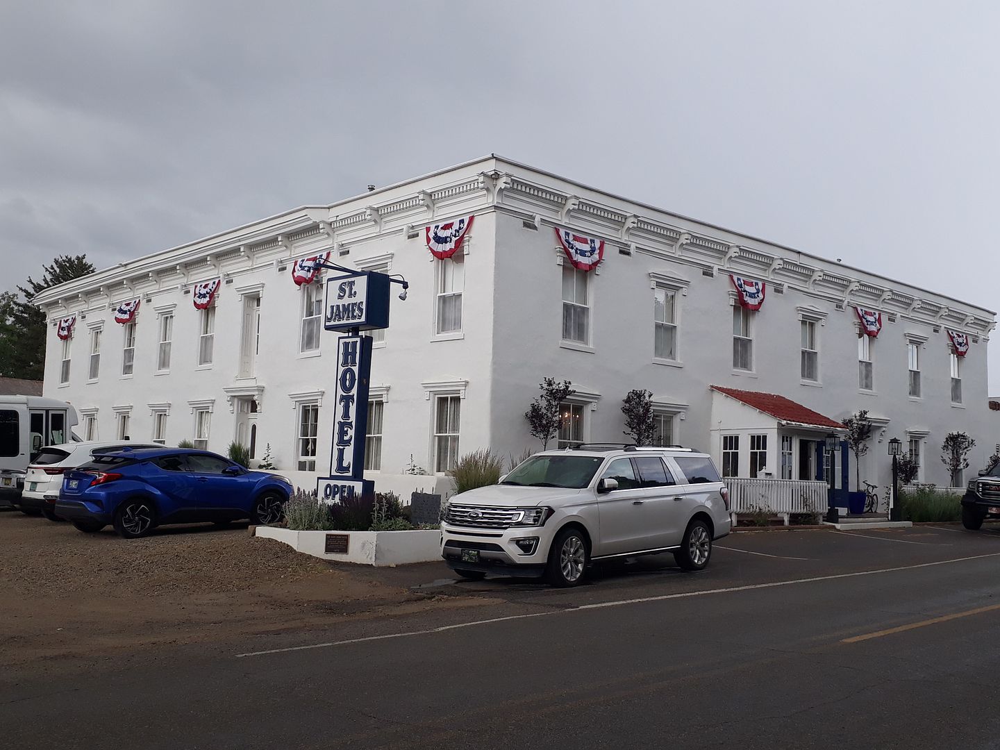
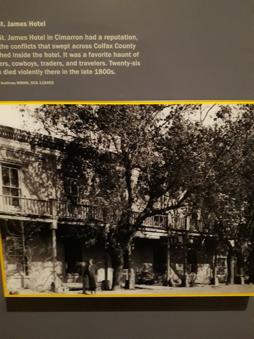
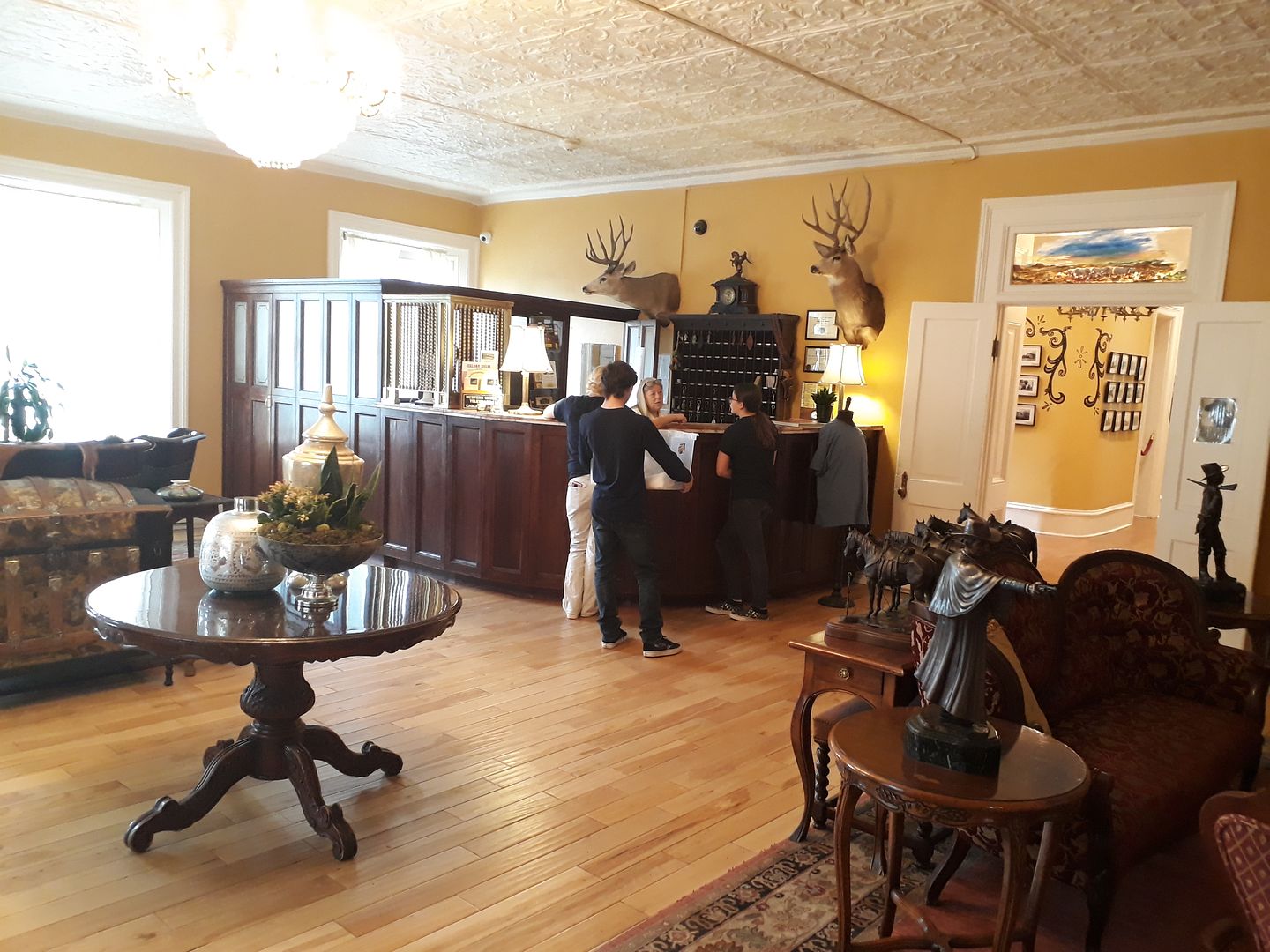
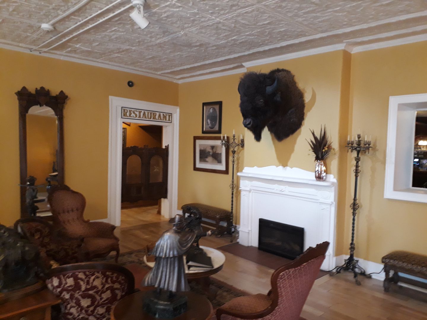
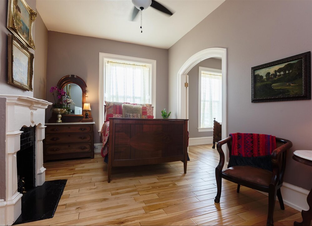
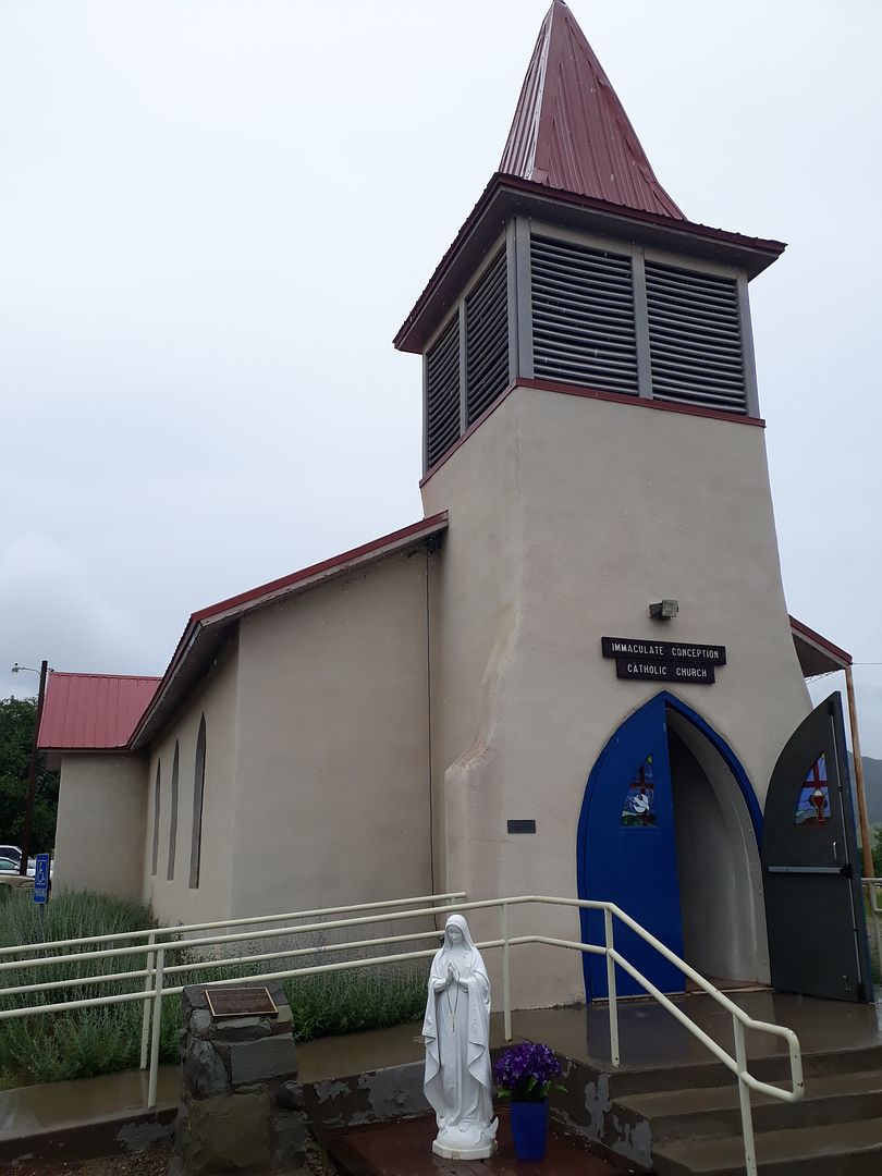
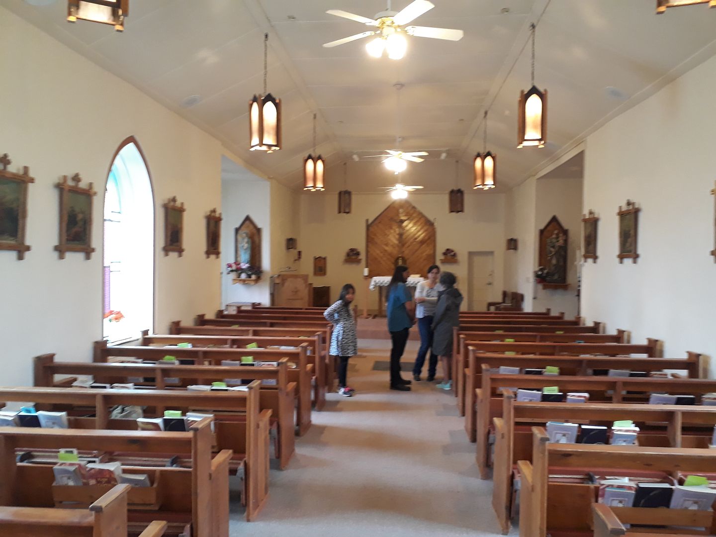
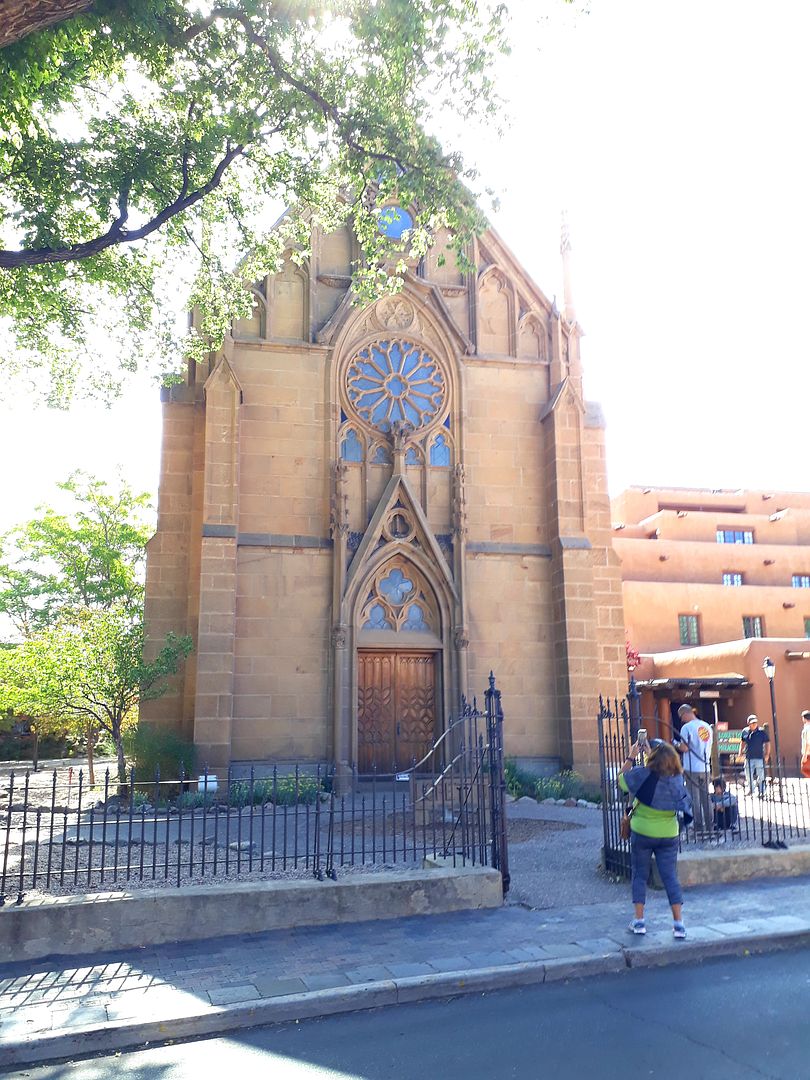
At mid-afternoon the rain was a bit more steady so I took DW back into town to the one interesting building in town. The St. James Hotel.
I'll cover the St. James in the next post.
Bama Ed
 :rolleyes:")


.jpg?width=1920&height=1080&fit=bounds)
 I was showing DW the pics and she said, "how long were the gone to do all that stuff"?